
A severe (Category 2) cyclonic weather system has been in place for Sydney, Mid-North Coast, Hunter and Illawarra regions of NSW. There has been torrential rainfall (300mm/1ft in the last 24 hours) has been damaging and destructive winds gusting to over 160 kmh (100mph) and damaging surf in these regions.
Here are a number of photos of damage to property in the Hunter Region by fallen trees in my own street alone.

Newcastle Floods 2015 – A new river has “appeared” in the local park.
The weather for prognosis for today is cloudy. Very high (90%) chance of rain, locally heavy at times. The chance of thunderstorms. Winds S/SW 30 to 45 km/h decreasing to 25 to 35 km/h in the late evening. Large and powerful surf conditions in the afternoon and evening are expected to be hazardous for coastal activities such as rock fishing, swimming and surfing. However the winds and rain are expected to worsen upto Category 1 cyclone conditions again tonight until midnight before conditions are expected to ease.
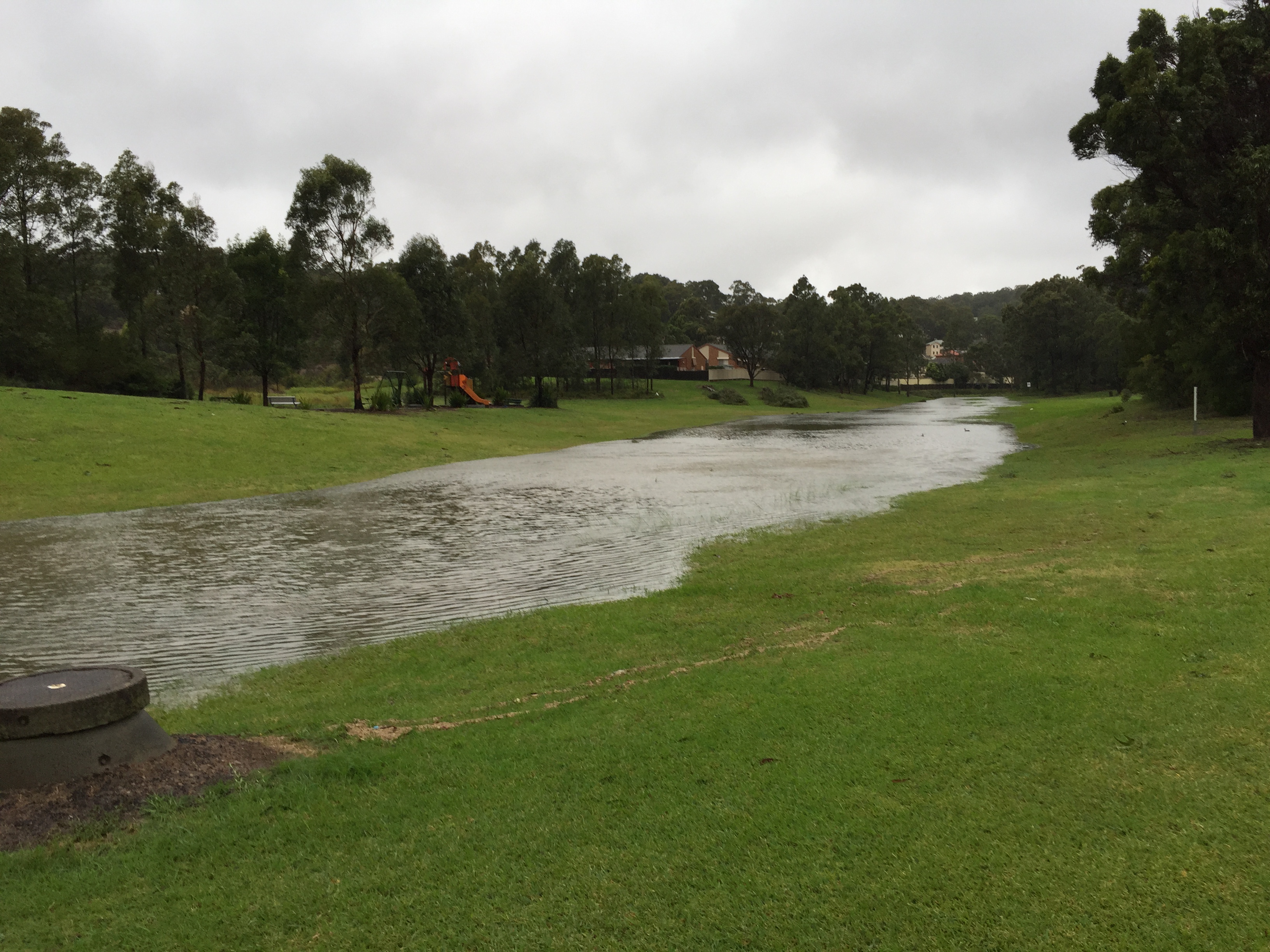
Newcastle Floods 2015 – Another view of the “new” river!

Newcastle Floods 2015 – Gum tree fallen onto house

Newcastle Floods 2015 – Another gum tree fallen onto another house

Newcastle Floods 2015 – A gum tree fallen across the road obstructing half the carriageway.
Here is a short video of various laocations around Newcastle, courtesy of Hunter TV.
The following picture is of the canal in Wallsend town. Although I use the term canal, it is not a canal in the British sense – meaning you cant sail a narrowboat down it – but it is rather a stormwater canal which is normally dry.
Its depth from the bank to the bottom of the canal is approximately 1.2m (4 feet) and it is 10m (32.8 feet), so you can judge how much rain has fallen.
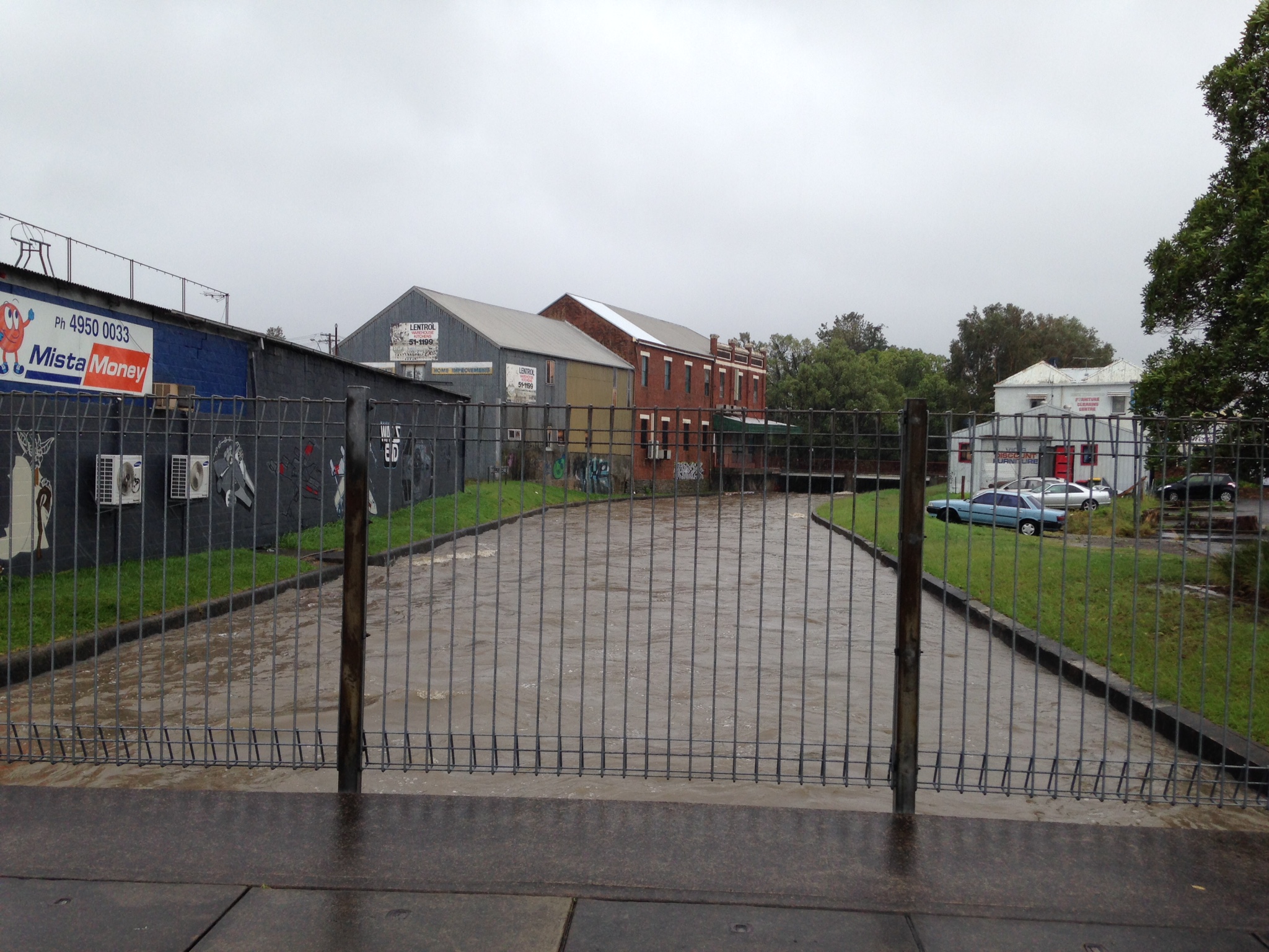
Wallsend Stormwater Canal – Photo courtesy Graham Thorpe.


